Maps contain a substantial amount of data that cannot be preserved at either low resolutions or tiny sizes.The trick to to offer the user an image that is recognizable enough that she or he can pinpoint with relative accuracy where to zoom in. We must make it possible for users to pan around the screen and change their zoom level with relative ease, and be able to perform those same tasks on a mobile device such as a smart phone or tablet that require a touch-based interface.
Below is one such tool that might do the trick. To enable zooming and panning, click/tap on the image:
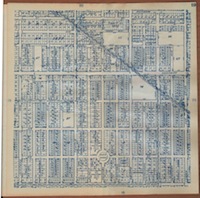
Page 19 of Pearsall’s Map of Long Beach and Vicinity, 1919, featuring Rose Park.